Get the weekly SPARTANAT newsletter.
Your bonus: the free E-Book from SPARTANAT.

Online, offline, everywhere
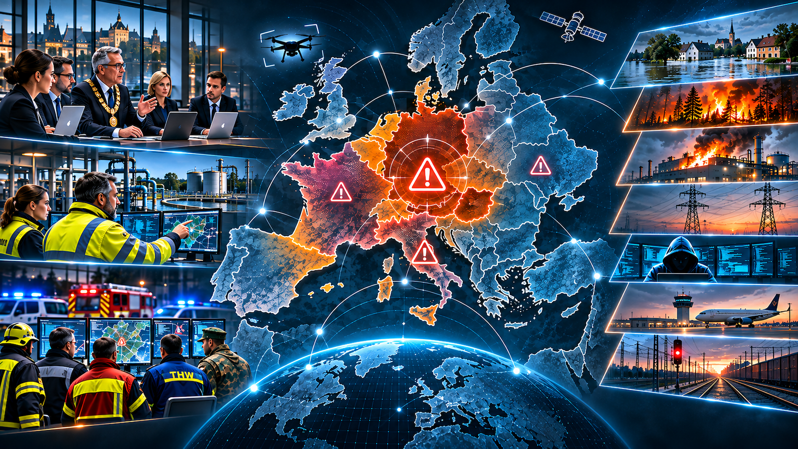
A Common Operating Picture (COP) is essential for effective crisis management, allowing all stakeholders to view unified situational data regardless of location. It integrates GPS tracking, real-time communication, diverse data sources, and device compatibility to enhance decision-making and operational efficiency in emergencies.

To lead, you need to have the big picture. A shared, visualized situational picture is the foundation of every decision made during a crisis—regardless of whether those in charge are standing or sitting in a command center, at a plant, in a vehicle, out in the field on their own, or working from home. SPARTANAT author Jörg Dreger explains what a Common Operating Picture must be able to do today and why it must function even when the network goes down.
One picture for everyone—everywhere
A Common Operating Picture does not emerge simply because each location maintains its own map. It only comes into being when all stakeholders can view the same situation, even if they are in different locations. Only then can management, incident command, and teams discuss the same facts, the same priorities, and the same timeline.
The situational picture must be able to depict the widest range of parameters of a situation—not as a data graveyard, but in a clear, filtered manner that is appropriate for every level.
Who is where—and what is available?
The foundation is GPS tracking of your own personnel, teams, and assets. Vehicles, machinery, and equipment must be visible so it’s clear where they are, what’s ready for deployment, and how they can be deployed. In addition, markers and points of interest are needed for assembly points, hazard zones, or objects.
Geofences provide security in the background: If a vehicle, person, or asset leaves a defined area or something enters a protected zone, an alarm is triggered automatically.
Everything comes together
A situational overview depends on its sources. These include live locations and movements of our own personnel, as well as the positions of partners, locations of anticipated difficulties, accidents, and disruptions. Traffic information, NINA alerts, and the flight movements of the organization’s own drones are just as much a part of this as sensor data on weather, water levels, or traffic. Video is another key component: cameras on mobile devices, drones, and stationary cameras must be integrated and shared. An image from the scene often replaces minutes of radio reports.
Paths Beyond Standard Navigation
Route planning via standard navigation services is sufficient for everyday use. In an operational situation, however, more is required: Routes must be planned specifically via forest trails, farm roads, or certain detours—regardless of distance
or optimization logic. Equally important are pre-planned evacuation routes and paths to safe locations that are immediately available in an emergency.
Communication in the Situation Overview
Information belongs where decisions are made. Chat and messaging, as well as file and image sharing, must be possible directly within the system—not via private messaging apps on the sidelines. This is organized through teams and roles: Everyone
sees what they need for their task, and the organization retains control over who shares and edits what.
Overlaying Situation Overviews
In larger-scale situations, multiple locations, partners, and organizations work with their own situational overviews. These must be able to be overlaid and shared selectively—adapted to the available communication options, ranging from broadband to minimal connectivity, or, in extreme cases, via file transfer using a USB drive carried on foot. This creates a shared big picture from many individual views, without anyone losing control over their data.
Online, offline, on any device
Even the best visualization is useless if it’s not available in an emergency. A situational overview must therefore function both online and offline: with locally stored maps, cached data, and synchronization as soon as a connection is reestablished.
Equally crucial is the platform. The solution must run on Android, iPhone, Windows, and Linux—because in reality, organizations work with mixed device fleets and partners who bring their own technology
with them. And it must be scalable: for the command staff during a major incident, decentralized across the organization, from inside a vehicle, and personally for every individual first responder and every person in charge. A system that runs only in the command center ends at its door.
For companies, municipalities, and security organizations
Whether it’s a company with one or many locations—large or small—a municipality dealing with flooding, or an organization with security responsibilities and hybrid challenges: the requirements are the same. Those who can assess their resources, capabilities, and threats at a glance make faster and better decisions. What matters is not the volume of data, but that the situational picture translates into concrete actions.
The next article will focus on the crisis command center and data sets: Which functions and information must be available online and offline, and how can it be designed pragmatically—depending on team size, mission, and regional or supraregional focus?
JÖRG DREGER is managing partner of DREGER Group GmbH and has more than 30 years of operational experience in information and communication technology as well as in security and crisis management. His focus is on holistic security concepts, the protection of critical infrastructure, and the ability of organizations to lead and act in crisis situations.
He is a member of the Executive Board of the German Society for Defense Technology (DWT), spokesperson for the section and working group leaders, and the Rhine-Main regional representative of the Federal Association for the Protection of Critical Infrastructure (BSKI). In addition, he is actively involved as a speaker and organizer in the dialogue on security policy.
DREGER Group online
SPARTANAT is the online magazine for Military News, Tactical Life, Gear & Reviews.
Send us your news: [email protected]
Ad
similar
Get the weekly SPARTANAT newsletter.
Your bonus: the free E-Book from SPARTANAT.
