Get the weekly SPARTANAT newsletter.
Your bonus: the free E-Book from SPARTANAT.
HOW TO: The plant indicator is always with you

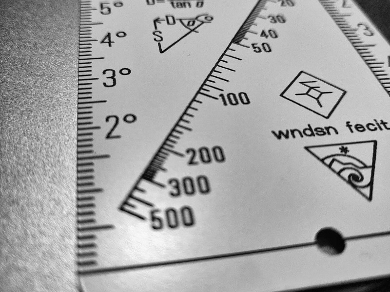
We love the Wndsn Quadrant Telemeter simply because of its versatility. Now we have discovered another function, namely that of a planimeter.
The Quadrant Telemeter features an angle scale that also serves as a metric ruler, with 1° = 1cm. This scale can be easily used to measure or transfer right-angle coordinates to or from topographic maps with UTM, MGRS, USNG coordinate systems.
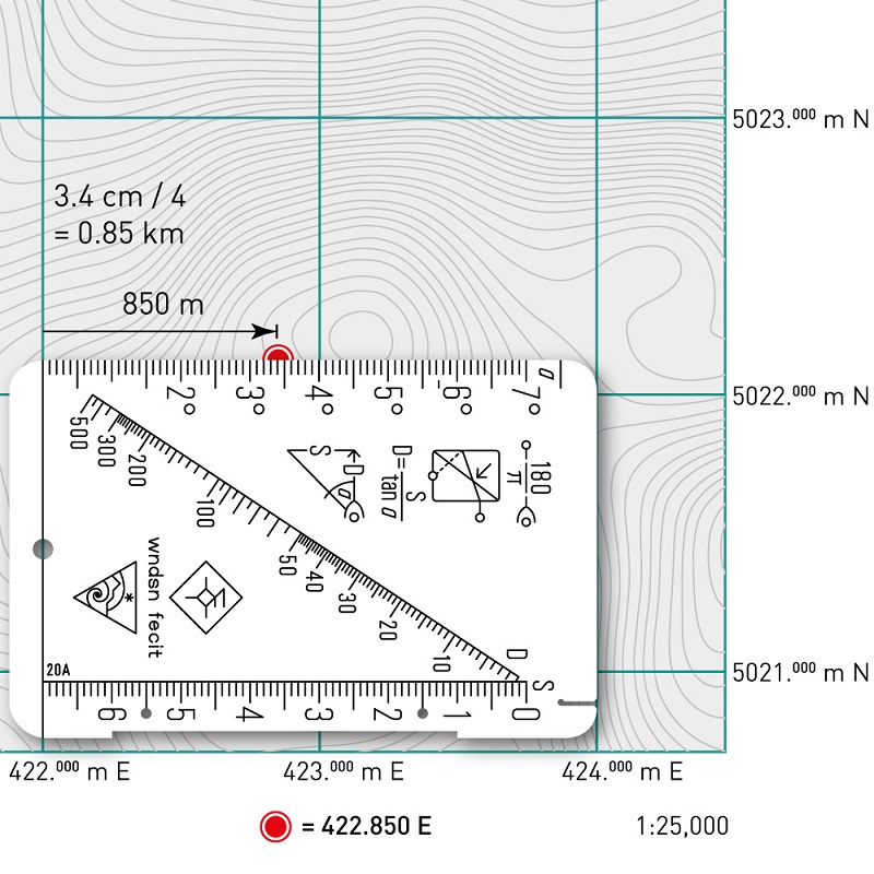 Most maps are in scales of 1:25,000, 1:50,000, 1:100,000, or 1:250,000. For our metric telemeter, on the angle scale: 1° ≙ 1 cm. Accordingly:
- for 1:100,000, 1 cm = 1 km and 0.1 cm ≙ 0.1 km
- for 1:50,000, 1 cm = 0.5 km and 0.1 cm ≙ 0.05 km
- for 1:25,000, 1 cm = 0.25 km and 0.1 cm ≙ 0.025 km
- for 1:250,000, 1 cm = 2.5 km and 0.1 cm ≙ 0.25 km
To make this clearer:
- for 1:100,000 we use the measured value as it is
- for 1:50,000 we divide the measured value by 2
- for 1:25,000 we divide the measured value by 4
- for 1:250,000 we multiply the measured value by 5/2
 To determine a position, first check the map scale; then determine the easting or right value, followed by the northing or high value. The saying for this is: Ran an den Baum, rauf auf den Baum. You have now pinpointed your position on the map, and course determination can take place. In the example, your position is 422.850 East and 5022.125 North.
Wndsn on the web: wndsn.com
SPARTANAT is the online magazine for Military News, Tactical Life, Gear & Reviews.
Send us your news: [email protected]
Ad
similar
Get the weekly SPARTANAT newsletter.
Your bonus: the free E-Book from SPARTANAT.